A free program for Android, by AirMap Inc..
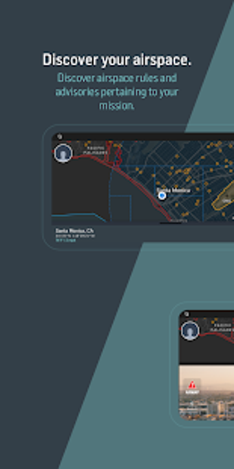
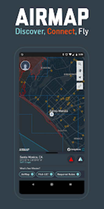
The AirMap app is the only global provider of aeronautical data and services to unmanned aircraft. It provides real-time information on the flight status of aircraft in the air. This allows you to have an overview of where your drone is and where it is going.
If you are a drone operator, or if you are thinking about becoming one, you can use the AirMap app to help you decide where to fly, and how to fly.
It provides you with an interactive map that will help you get a better understanding of the air space in which you are operating.
You can request digital authorization to use the app for commercial operations.